
Country (Pakistan)

Difficulty LeveExpert / Strenuous

35 days approximately

June - August (Summer)

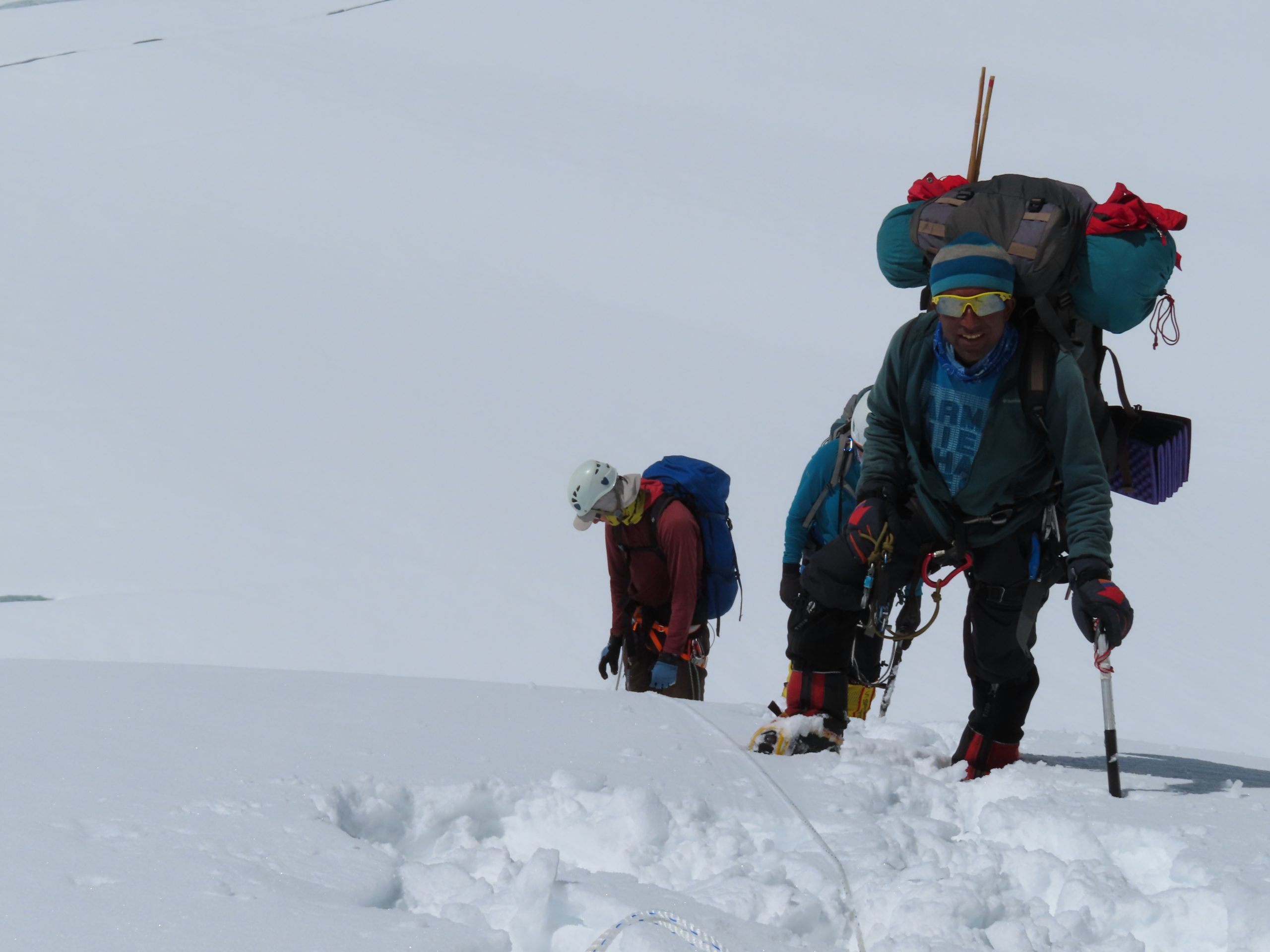
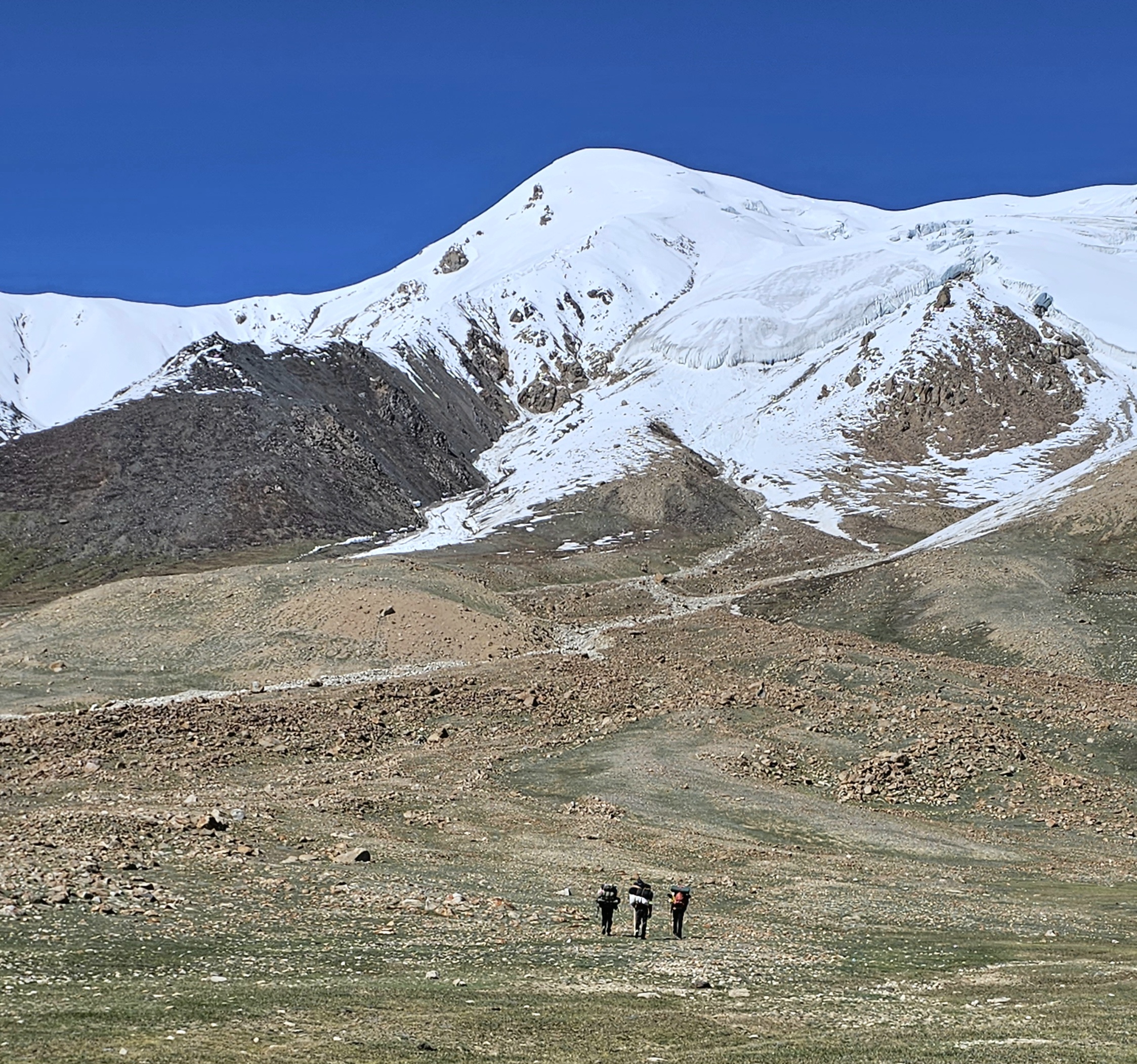
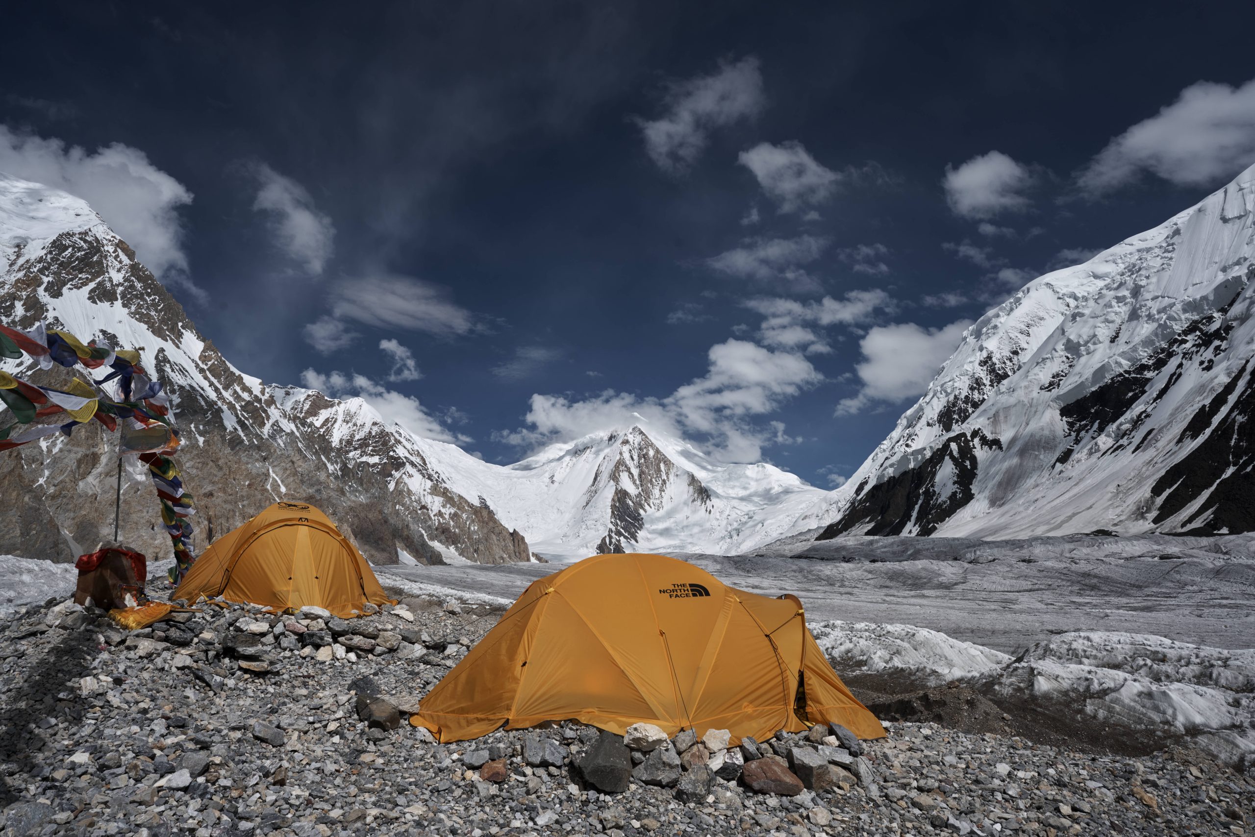
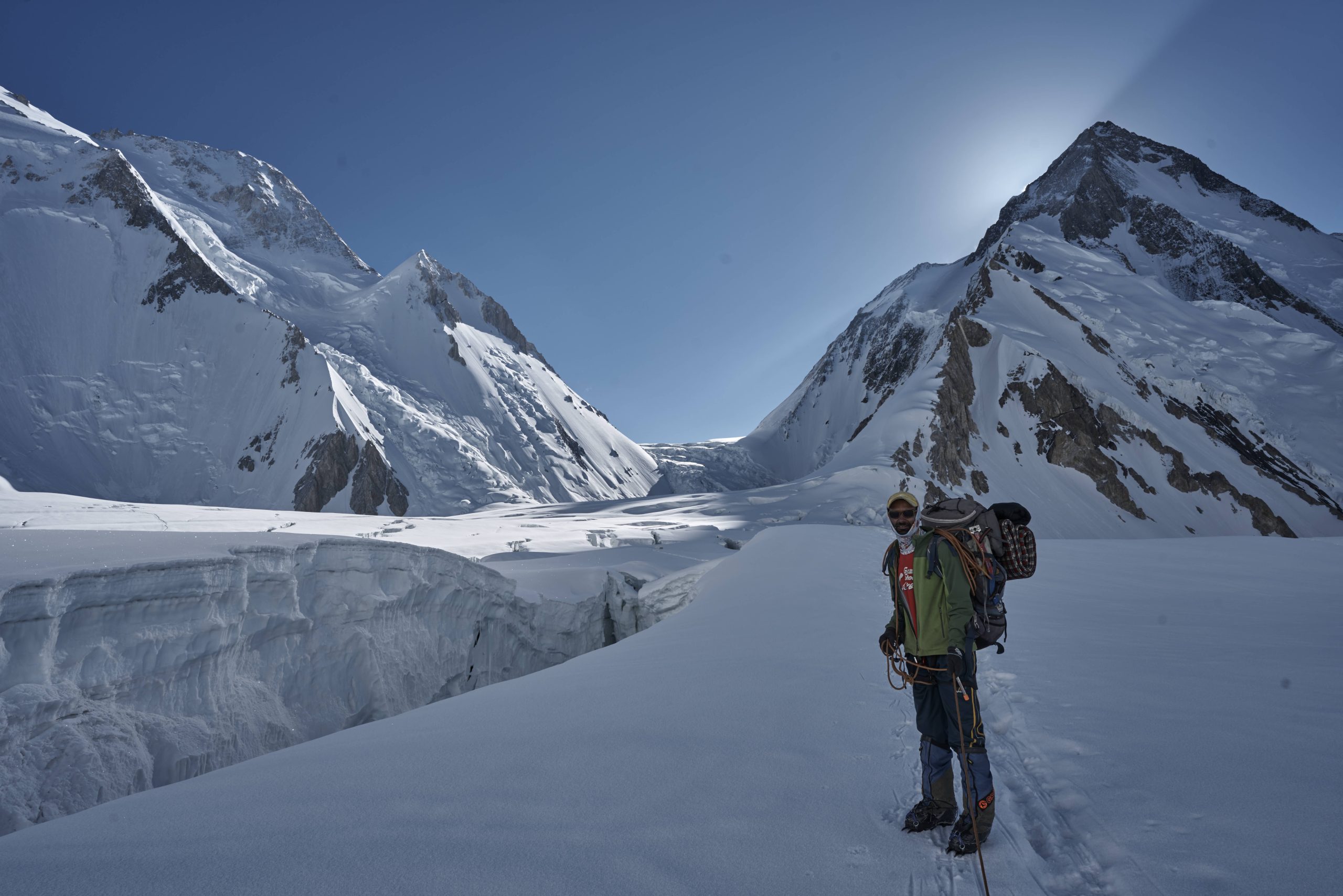
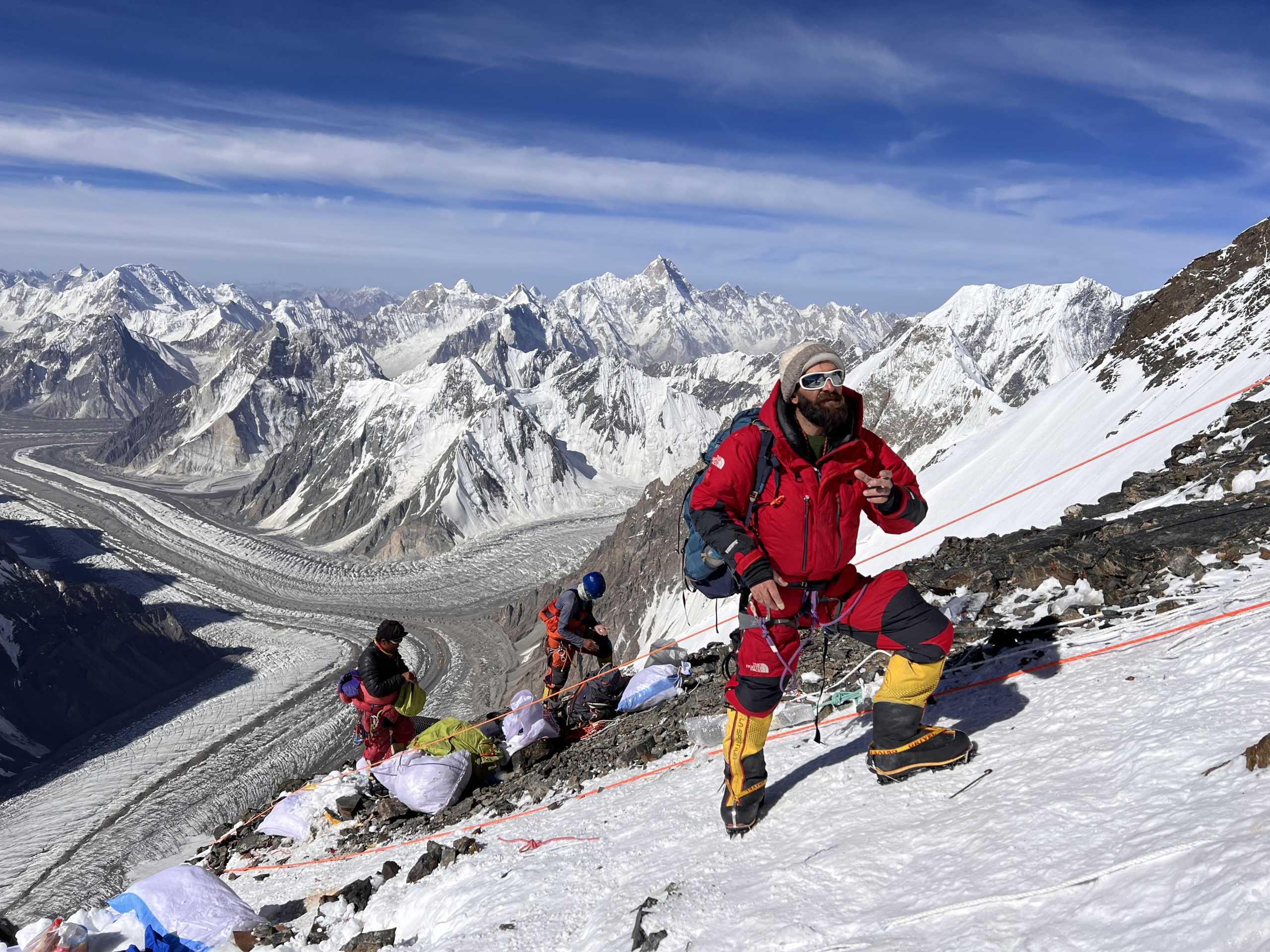
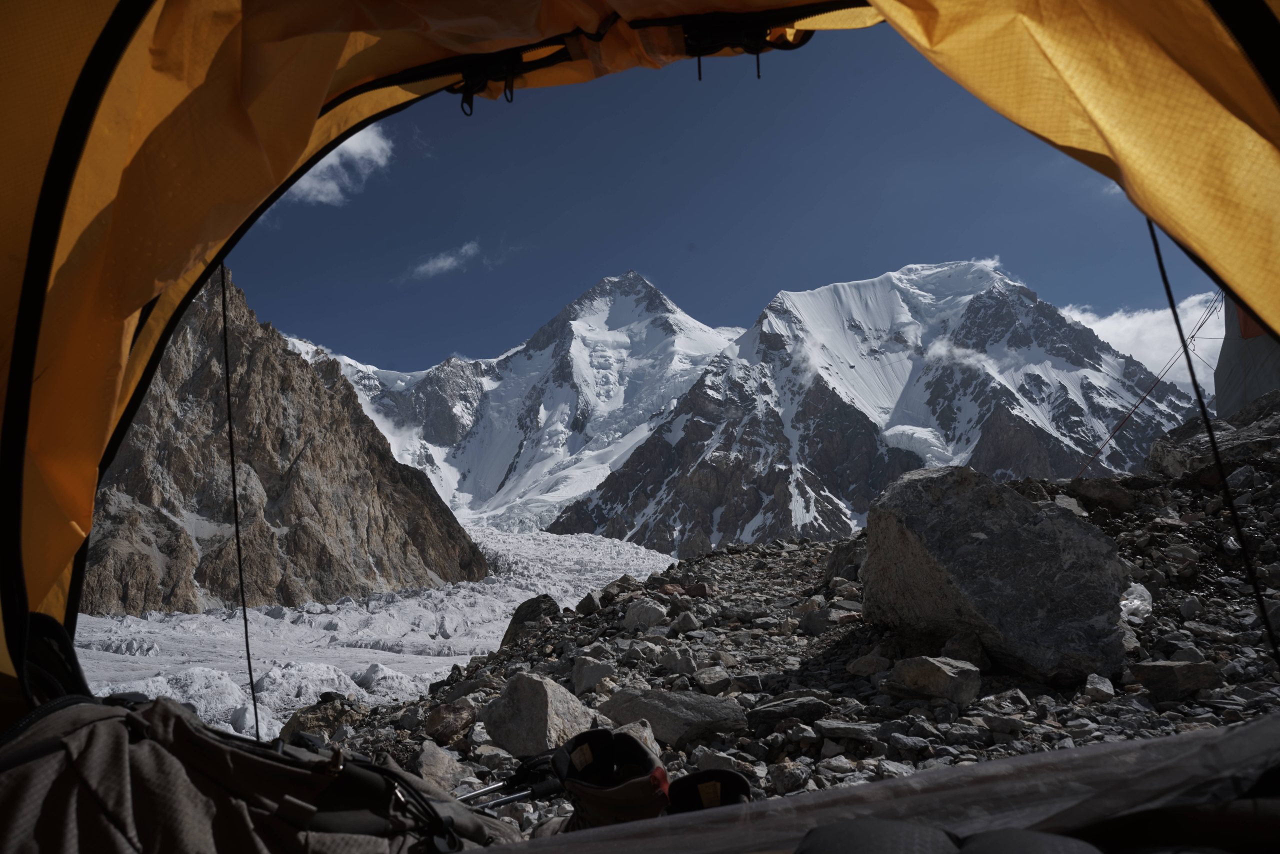
Perched in the Batura Muztagh subrange of the Karakoram Mountains, the summit of Passu Sar, alternatively spelled Passu Sar, stands proudly at an elevation of 7,476 meters (24,527 feet), overlooking the expanse of the Passu Glacier. Securing the 38th position on the global rankings and the 15th spot in Pakistan, this majestic peak shares its domain with the Passu Sar and Batura Sar mountains. Nestled within the Batura Muztagh, Passu Sar is a prominent feature near Passu Village, located in Gilgit-Baltistan's Gojal Valley and serving as the closest settlement to the mountain's pinnacle. The swift Hunza River commences its journey in the vicinity of Passu Sar, situated to the west of the Hunza Valley. Part of the Batura Muztagh, also known as the Batura Wall, Passu Sar contributes to the distinctive mountainous landscape within the broader expanse of Pakistan's Karakoram Mountains. Spanning the border between Pakistan and China, the Karakoram Range boasts three of the world's fourteen-thousand-foot peaks—K2, Gasherbrum, and Nanga Parbat. With a length of 500 kilometers and a width of 200 kilometers, this range establishes vital connections between the Hindukush and the Himalaya. Join us on an exploration of Passu Sar, where the grandeur of nature unfolds amidst the rugged beauty of the Karakoram Mountains.